You can enlarge the photos in this page by clicking the mouse cursor on the picture, but you may have to enable popups and javascript to make this work. You can close the new window to return to the main page. If you have Firefox, there is a preference available to allow new pages to open in a new tab rather than a new window, and checking this option will make your viewing experience better. The same option may be present in Internet Exploder versions 7 or higher.
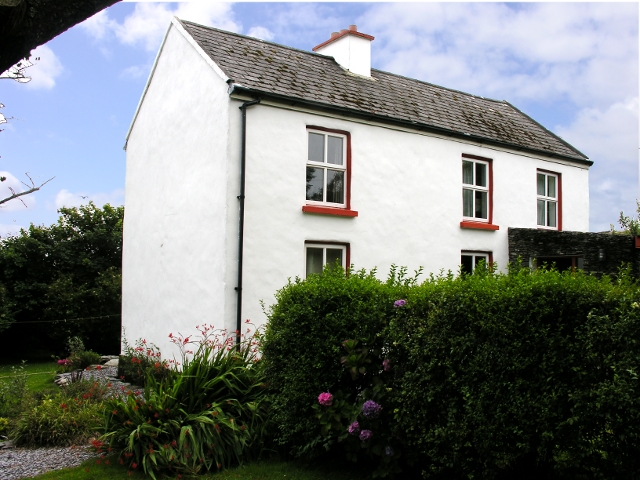
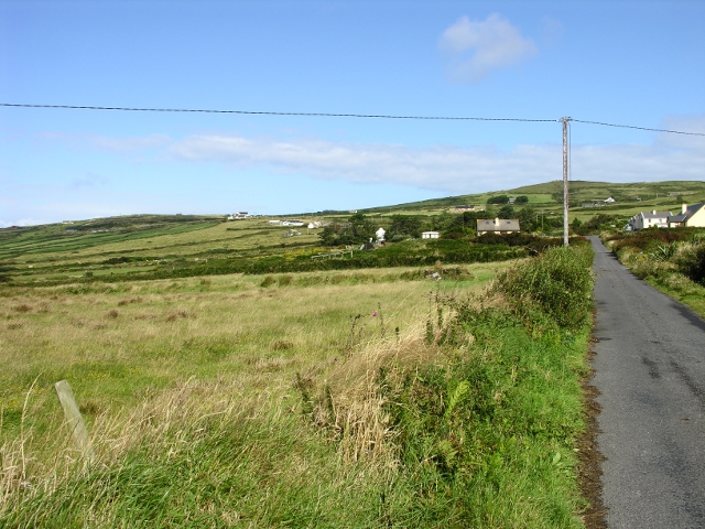
Anne and Roger kindly invited us to share the house they had rented on the Island of Valen[ct]ia - local maps and signposts are far from unanimous about the spelling. Some organisations use both on different signs. Here the house, from the front gate.
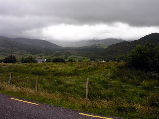
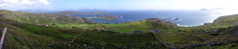
This is taken from the main road that leads from Portmagee to Knightstown. Doubleclick on the image, and you will see a ring around the house. I am too old to start learning about how to do this in a single tab with Flash!
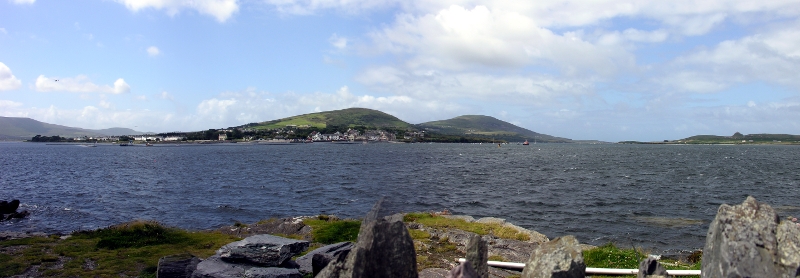
This is the bridge from Portmagee to the Island, and the Southern end of the Valentia Channel.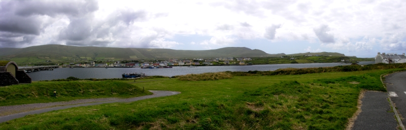
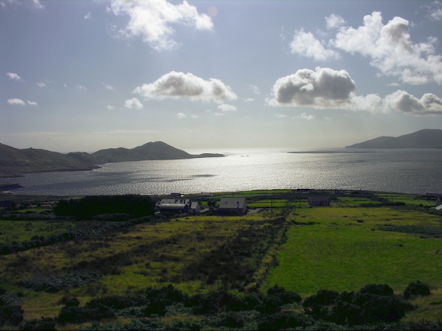
This is the view of the Northern end of the channel, and Valentia Harbour
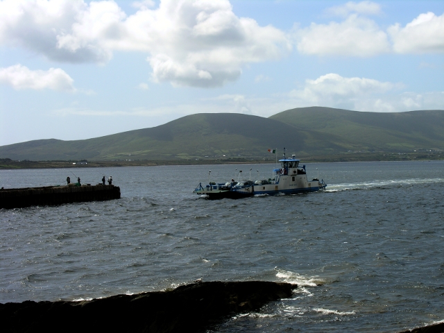
A ferry runs from Reenard Point, and this is the view of Knightstown from "The Point"
Our curiosity was piqued by the fact that the ferry's name is "God Met Ons III". When we got home, I discovered it used to service a crossing on the River Maas, from Katwijk to Mook, and then (after the Berlin wall fell) on the river Elbe. It must have been an exciting cruise bringing her across the Irish sea. Look at that flat open deck!
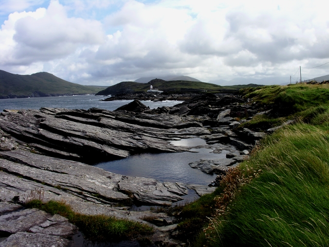
In the fading light, I took this photo of a chap apparently line fishing in the south channel.
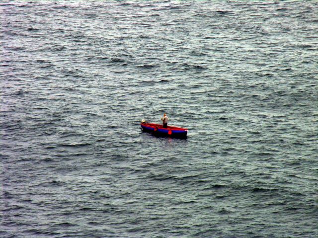
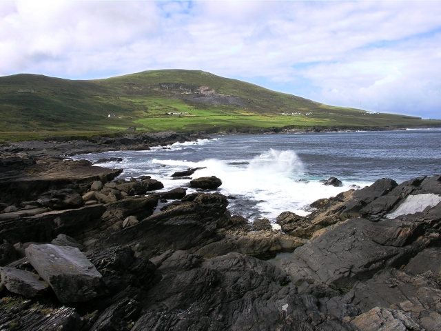
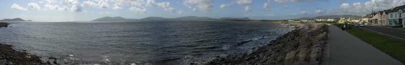
So what, I hear you say? This is a wider angle view of the south channel
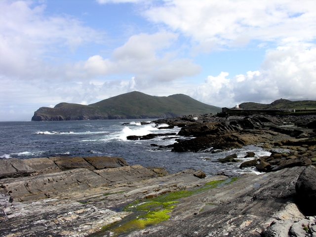
The lighthouse is in a fort built at the time of Cromwell's takeover (and named after him). You cannot visit the fort, which stands at the North end of the channel, looking towards Doulus head. Supposedly, the gun ports are still there; but I was not going to go down to surf level to verify this.
This lower view across a rock pool gives a better idea of how commanding a position the fort has. The white beam can be seen 22 nautical miles away.
Here I nearly got the 7th 7th wave!
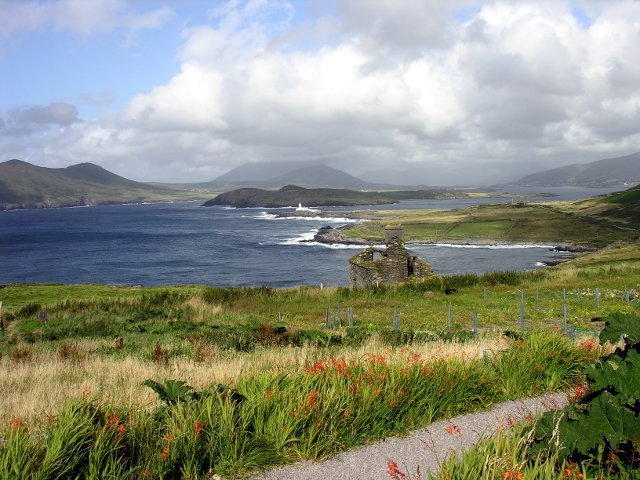
We went for tea (and, if you are not a celiac, scones) at the Lighthouse cafe. This is the view down to the light from there.
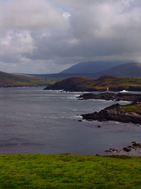
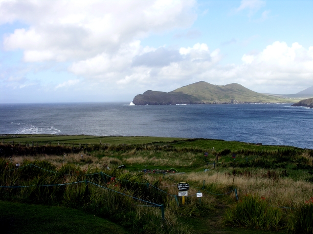
And this is the view from there to Doulus head
Across St. Finian's bay, on the road from Portmagee to Ballynskellig.
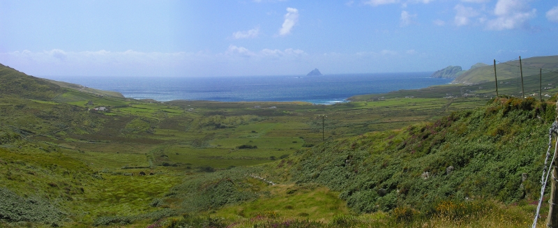
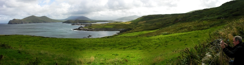
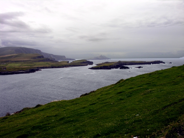
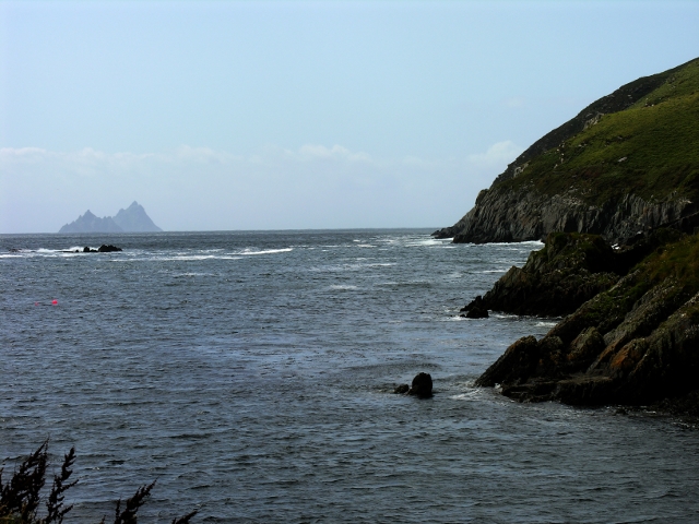
Here, from Glen Pier, a view of the Skellig Islands
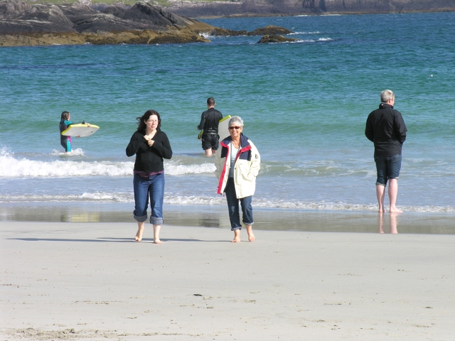
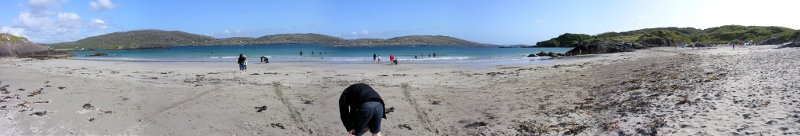
This is the beach at Ballynskellig
Looking right (out to sea)
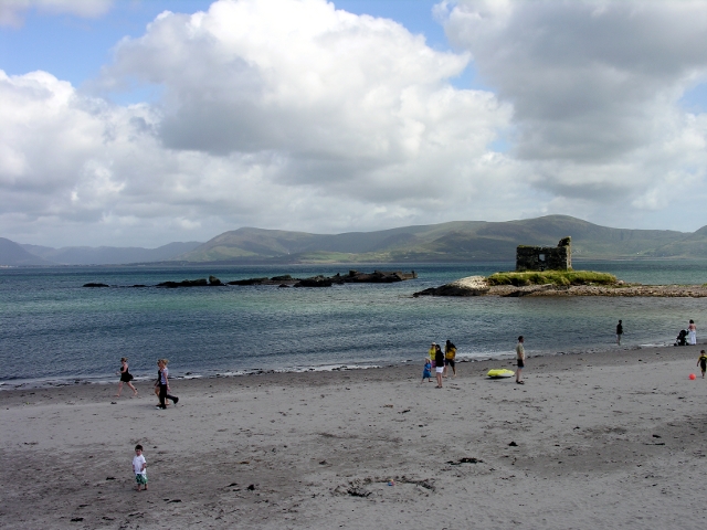
And left, up towards Waterville
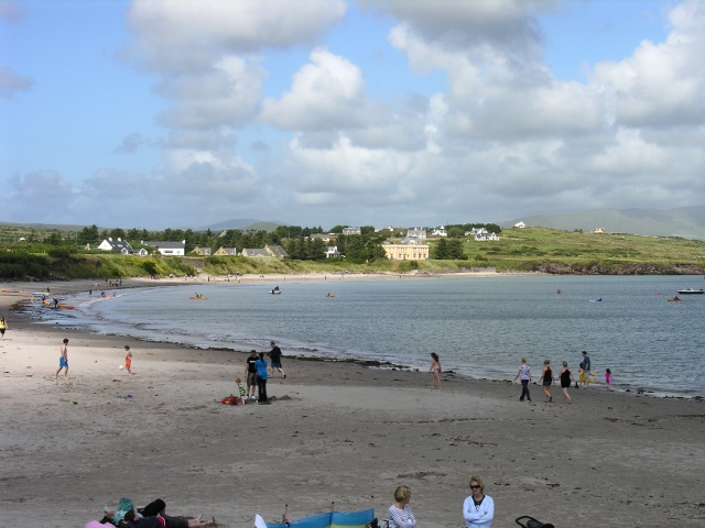
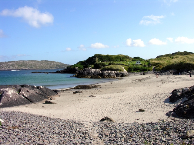
This is the view over Abbey Island, on the road round from Waterville to Derrynane.
And here is the beach at Abbey Island
The ruins which gave the island its name.
One of Roger's clients had recommended "The Point" as a source of superior sea-food. One member of our party was very interested. Here is how much lobster you got for €25

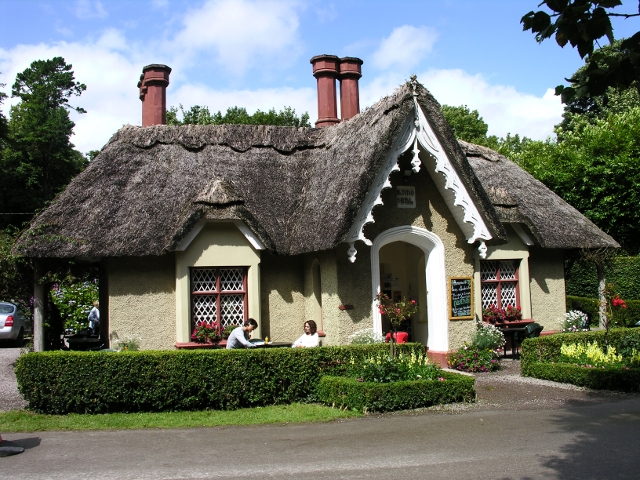
We had been to Killarney in 1993 but we were looking for somewhere to hide from the rain. We made a note of the tea-hut which sells cakes for celiacs.
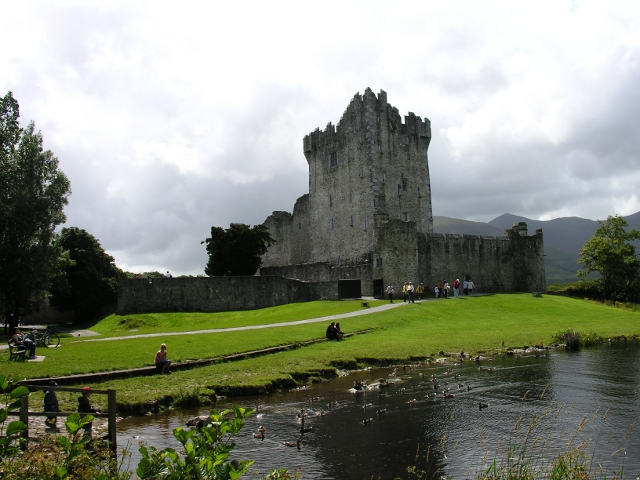
It was a bright day, in between showers, as one can see in this view of Ross Castle.
Someone is thinking about not having to walk back to the tea hut.
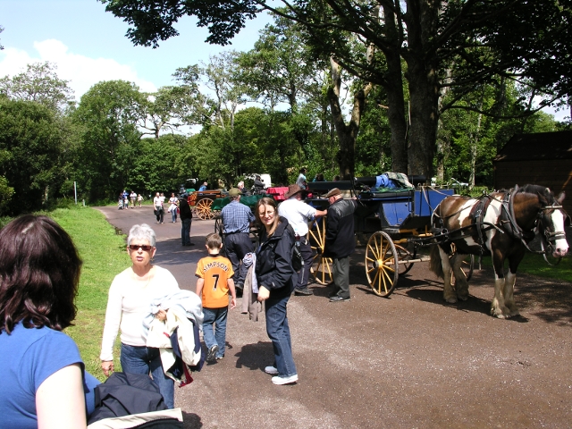
But the first priority is to hide from the weather which is building up again in the hills
After no more than a few minutes of rain, all is well again
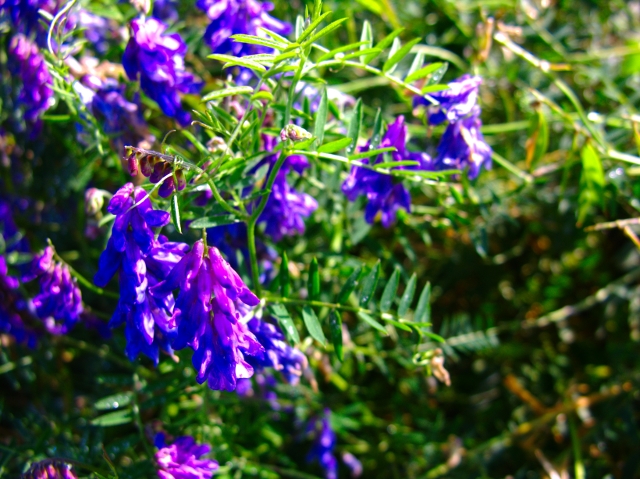
Another strong memory from 1993 were the wild flowers growing on the roadside. This is clustered Vetch, in the lane leading up to the house we were staying in.
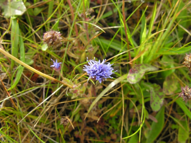
This is Sheep's Bit. I know this thanks to a beautiful website you can find here.
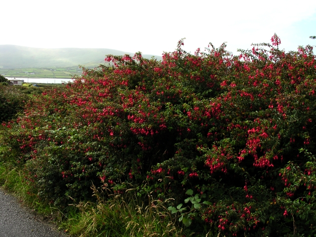
Then, of course, with Valentia being in County Kerry, there are wall to wall Fuchsias
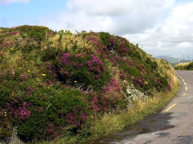
and, of course, heather (here on the pass between Ballynskellig bay and Derrynane.
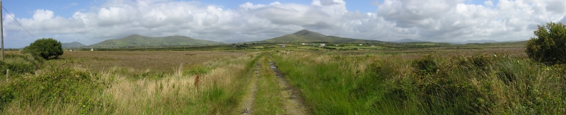
And here, on the way up to Glencar, very hilly. But still very deserted - we saw no sign of people from the houses in the foreground.